AirSensa
Urban air pollution affects each and every one of us; the health and economic impacts are considerable, and are becoming a well-understood and widely publicised issue.
We believe that you can’t manage what you don’t properly measure, so we’re creating networks of urban air quality monitors to monitor and visualise air quality in real time, on a much more local level.
External Project Aims
SOLUTIONS
A detailed, factual representation of air quality in the UK to help create positive and targeted solutions.
APPS
The ability for everyone to see and understand the situation through powerful smartphone apps, with features likes low pollution journey planning and automated high pollution alerts.
EDUCATIONAL RESOURCES
We’re creating deep and engaging educational materials for young people of all ages – and are supplying them, free of charge, to every school in the UK.
RESEARCH
Joint research with Universities to learn more about the effects of air pollution, but also how to solve it.
The Technology
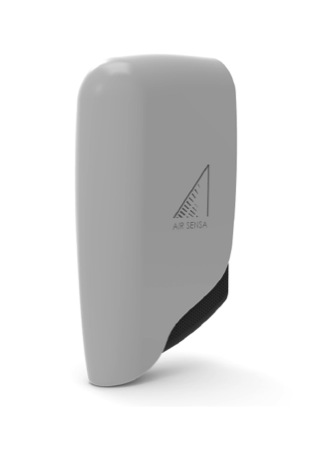
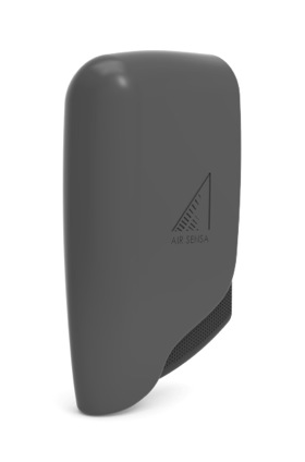
The AirSensa is an outdoor air quality monitoring device, it take readings every second of key air pollutants (listed below), relevant atmospheric conditions, and noise levels and 10-second means are calculated by linear regression. That data is then transmitted back to our cloud software platform through the GSM network where the platform post-processes the data for calibration, removal of cross-interference, and interpretation and the results available in near real-time (maximum 15-minute delay).
Data can be accessed through our customer dashboard screens or provided through an API as a direct feed into customer internal systems. The AirSensa platform automates most functions of sensor estate management, including continual monitoring of individual unit health, and adjustment of sensing and comms regimes if required.
Nitrogen dioxide
Nitric oxide
Ozone
Carbon monoxide
Particulate Matter (PM1, PM2.5 & PM10)
Atmospheric conditions: temperature, humidity, peak acoustic volumes
The Network
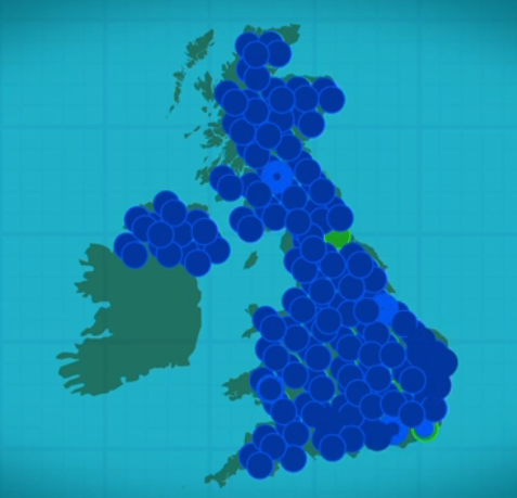
It is our intent to have a geographically dense network of AirSensa units with 40,000 across the UK and 10,000 of these in London alone. This will make us the largest air quality monitoring network in the world.
It is going to take a number of years to complete the network and it is our intention to create a mixed estate of monitoring units. This approach will stem from our continual development of the AirSensa unit – the version detailed above is in fact our version 2.5. Future versions will include solar powered, miniaturised and deconstructed for particular conditions.
In terms of where we are going to site our units, they are going to be equally placed on:
The Case for Geographically Dense Monitoring:
The reason for such a large network is the variability in air pollution levels. Research and the initial launch of the network has shown that there can be vast differences in exposure levels by a matter of feet. For this reason alone, the traditional modelled data is likely to be inaccurate by a street by street level – thus largely unusable for exposure reduction or planning successful management strategies:
“It is our belief that you cannot properly manage what you do not sufficiently measure”
The Data
Section under construction


